11-19-2015, 12:18 PM
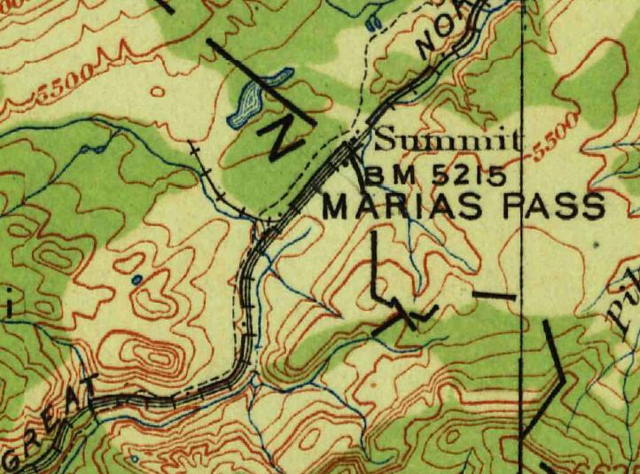
The 1913 topo map of the area shows a wye with a leg going back about 1000 meters, perhaps to a mine of some type.

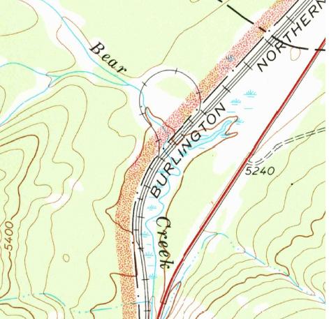
The topo map from 1968 shows a loop.
There appears to be a yard of some kind there so my guess would be it is near a summit of a grade so maybe they were also used to turn helpers.
I can see the remains of the wye right of way and wyes on old topo maps show frequently as well as long ago abandoned sidings. The USGS store and the Terrago Toolbar work wonders. The Toolbar will give you distances and co-ordinates that can be plugged into your GPS and it is all paid for with taxpayer dollars.
Charlie


